
Colorado 14ers: Mount Missouri
The How
I had tried Mount of the Holy Cross in the early 14er season and had given up a half hour from the summit. I had no reason, I was just bored. You can read about my reasoning in the corresponding article, but it boils down to being alone and seeing a hiker in front of me, a young lady that seemed in distress at being approached by someone else.
I don’t regret not finishing, but I knew with the right crew I would enjoy another climb. And it turned out that Tim’s friend Ian wanted to try out a 14er. I knew him to be super-fit, I knew him not to complain, and he seemed to gung ho about doing it.
We played with a series of mountains. I offered up Mount Sherman, everyone’s favorite baby 14er. He replied with Evans and Bierstadt. I nixed the former on account of the long hike coupled with a zoo at the summit, the latter because it was insanely crowded and they would soon create some permitting system to curb the masses.
Ian said he wanted me to get something out of it, so he wanted a mountain I hadn’t climbed before. That left us only with Shavano, Longs Peak, and Missouri/Oxford. Longs was out of the question since it’s by all accounts a demanding hike not to be attempted with a beginner. Shavano offered little enticement. Missouri and Oxford, on the other hand, had the advantage that I had tried to climb them three times already.
So we set the latter as the goal. The gang convened at my place (closest to the mountains), we faked sleep during the climb’s eve, and in the early morning of the 8th were on our merry way.
The drive from Denver/Lakewood to Mount Missouri is fairly simple: you pick whether you want to drive on I-70 or US 285. From I-70, you reach Copper Mountain and take the highway to Leadville (US 24). From there, you continue South until just before Buena Vista. Here you turn off on Forest Service Road 390, a graded dirt road, and drive forever to Missouri Gulch Trailhead.
From US 285, you get into Buena Vista, turn right (North) until you hit the same Forest Service Road, then you turn left onto it and follow to the same parking area.
Desoite being insanely remote, the lot gets full quickly on summer weekends and even on better summer days. There is plenty of overflow parking along the road, but it adds to the hike.
The When
14er hiking season is theoretically all year round and people are known to hike to the summits and ski/board down. If you are not experienced, though, stick to the summer months. You can hopefully expect snow free hiking around mid-July, and by September things get really iffy.
In any case, whenever you go, you should look up local weather forecasts. You want a day that has the combination of low air humidity and low winds. If you get that, jackpot! You can hope for a long day of up and down.
If your dates are limited because you are visiting or working or whatever else, then still make sure you know the weather. In particular, humidity is a huge concern, because it makes thunderstorms easier. A great many hikers have been killed by lightning bolts, and you don’t want to be one of them. Chances for the weather to turn for the worse are much higher in the afternoon, which is why a lot of 14er hikers leave really early, even in the dark.
If the winds are high, the situation is not as dire. High winds at that elevation make everything more difficult, though: near the summit, there is generally no protection from them, and they can blast at high force. Dirt will get into your eyes, you may lose your balance in a gust, etc.
Overview of the Hike
Mount Missouri is a “baby 14er”, barely high enough to qualify. That shouldn’t comfort you: the typical vertical ascent on a 14er is around 4000-5000 feet, and the difference between Mount Elbert (the tallest) and Missouri is just over 400 feet, so not even 10% of the total vertical to climb.
For peculiarities, Missouri (and neighboring Belford and Oxford) have the unusual feature of having some of the steepest climbing at the very beginning. Missouri Gulch is the cirque formed by Missouri and Belford, and it ends at the valley formed by Clear Creek (one of many dirty yellow creeks by that name in Colorado). This valley is much wider, deeper, and lower than Missouri Gulch, so you climb from its bottom to the base of the latter.
Once you reach the top of the waterfall that marks the end of the gulch, you are greeted by an incredible alpine valley. Hiking is gentler here, although you are still hiking up a 14er.
Eventually you get to a fork on the trail. Left to Elkhead Pass and on to Belford, right to Missouri.
Here the climb gets much steeper and the terrain harder to navigate. Your worst enemy is the dirt, slippery (especially when wet or icy) and crumbly. You’ll crawl up slowly to reach a saddle. The final section, on the ridge from the saddle to the peak, is challenging but not steep. After a few hard sections, you’ll make it (hopefully) to the highest point around and enjoy.
The Drive
We settled on the Northern approach from I-70. Car packed with all the gear needed (see the separate article), we set off in the relatively early morning and made our way along the freeway in no traffic. We arrived at Copper Mountain around 07:00 and drove along US 24 into Leadville. It was a gorgeous day and while my preference would have been for an earlier (in the season) hike, we lucked out. It was still early enough for the leaves not to have turned anywhere and we were still greeted by shades of green, from the light-colored aspens to the dark firs.
The turnoff to FR 390 is spacious and well-marked. It is also hard to miss, but you should really look it up on Google Street View to get an idea. Unlike many forestry roads, this one is well-maintained and usually suited for any kind of vehicle, including regular 2WD sedans. That’s because the road serves several campground, historic attractions, and of course hiking trailheads.
Still quality varies. On another expedition, the ruinous attempt to climb overnight with Tim, we got rained out, the tent was frozen over so badly we couldn’t open the zippers for a while, and to add insult to injury the rain had flooded the very same road I am talking about and created a mudflow over it that was almost impassable. So make sure before you go. (Hiking sites like 14ers.com or [AllTrails][https://alltrails.com] have up-to-date information).
Generally, the quality of the road degrades the farther you drive. From the highway to the trailhead is about 8 miles and there is a lot of degrading that can happen. Watch out for rocks sticking out, watch out for dips, and slow down. If some crazy person tries to pass you at high speed, for goodness’ sake move off to the right when safe and let them pass.
Eventually, you’ll make it to the parking lot on the left. It’s hard to miss, but has no reception on any network at the time of writing, so you better have directions on your phone before you get there.
Section 1: Getting up the Gulch
As mentioned, the first part of the hike is getting out of Clear Creek Valley, a moderately successful mining area, to Missouri Gulch, which is a high alpine cirque. You get out of the car, put on your gear, start the wayfinder, and get down to the creek. The whole area is full of hiking trails, so make sure you get onto the right one: it hops down the creek right off the lot South, and you stay to the left of the trailhead signs.
Once you cross the creek on an incredibly sturdy-looking bridge, you are mostly done with trail finding. You just follow the main trail and the few exceptions are to vista points and water access, so you can’t get really lost, you’ll just waste a little time on the wrong path.
The trail ascends rapidly along a series of switchbacks. You started at 9650 feet and will have to climb to 11300. Most of the time, you will be surrounded by thick forest, so you’ll get neither views nor sunshine. It’s going to be colder than you expect, although you will not have to fend off winds.
There are a few stream crossings that await you, so make sure you have water resistant shoes. There generally are some sort of helpers, like log bridges or boulders, but they can be submerged if the creek level is high. One particular crossing gets you to a sloped meadow that explodes in color in the spring with wildflowers, and every single botanical rarity of Colorado’s mountains seems to live here.
The meadow is steep but not very long. After it, a denser forest that hides an abandoned cabin. The cabin is a great waymarker, because soon after it you reach the waterfall (you hear it but see it only briefly) and the valley.
Section 2. Hiking the Cirque
This is what you have been waiting for. The valley widens, the trees get thinner, and you get the first glimpse of your destination. To the left, a long ridge leads to a false summit of Mount Belford. To your right, an even longer ridge that snakes its way to Mount Missouri. Between the two mountains, a dark saddle whose lowest point is Elkhead Pass.
You have already gained a third of the elevation for the day, but you are barely into the hike. Now you’ll follow the trail in the valley, which is most of the mileage. First, you’ll get to a marked fork: to the left, the ascent of Mount Belford along the “standard” route (I would avoid). To the right your destination: Mount Missouri.
At this point, things get a little murky. There was a large landslide that buried the established trail a few years ago and in that area it’s a bit difficult to find your way. The gist of it is that you can see a ridge rising up South/ahead of you. You can see a trail on it and you have to get there. To do so, you have to cross the creek once. The main crossing seems to have settled at coordinates 38.97286728508807, -106.37482203929456, but since the terrain on the other side is rocky and unpleasant to hike on, I imagine at some point the crossing will move further South, towards the base of the ascent.
Once you climb the ridge, the surroundings change from small bushes to a drier area with little vegetation. You’ll rise and fall but mostly stay level and cross the creek two or three times more (depending on water flow). Eventually, you’ll get to another marked fork. To the left, the trail continues to Elkhead Pass and the far longer but better trail up Mount Belford. To the right, the climb up Mount Missouri.
At this juncture, we met a guy that had just finished the climb of Missouri and was going on Belford and Oxford. It’s possible to do these three 14ers in one day, but it will be a very long day and you better start it before day starts.
Section 3. Climbing to the Saddle
This section consists of two different parts. Initially, you just follow a trail in a dry alpine desert. It makes wide switchbacks up and is already steeper than what you have done in the past hour, but it’s still just hiking. Eventually, though (and rather suddenly), the terrain turns rocky. You’ll now ascend in talus and dirt, a rather unpleasant combination that will stay with you to the summit.
Talus is the name of the loose rock that forms when the rock explodes under the influence of the elements. Sun, rain, ice all work together to fracture the giant domes into smaller rocks. When they reach a sufficiently small size, between football and county fair pumpkin, they don’t split any longer and stay on top of each other.
They are relatively hard to hike on, because they are not made for hikers. You may step on a flat one, only to find it was only precariously balanced on another and immediately flips as your weight makes it. Or your hiking poles may get stuck in the crevice between two. Fortunately, the 14er initiative has done an amazing job at stabilizing the trails on talus, and your main issue on is is going to be staying on the mark.
The dirt, on the other hand, is more treacherous. First, it is much more slippery. Second, it easily slides off and crumbles under you. The former is more of a problem in wet conditions, the latter in dry conditions. Be particularly mindful of dirt, because it is really easy to slip and fall quite a distance on it.
If you follow the trail on a satellite picture, you can see how it becomes more and less visible from above. That’s no different on the mountain, where the trail can become faint. Look out for cairns, rock mounds used as beacons. There aren’t many on this particular mountain, but they are always helpful.
After what feels forever, you’ll get to a larger rock. Here, the trail veers to the right, away from the summit, and ascends straight to a saddle. Rest here for a long minute.
Section 4. The Summit Ridge
You are almost there, on vertical measure. The saddle is 13700, the summit 400 feet higher. Sounds like a walk in the park, right? It isn’t. This last section is a little scary, a little demanding, and a little dangerous.
You will follow the fairly sharp ridge for 2/3 of a mile. You’ll have to weave your way around boulders and formations. There is one section, in particular, that requires you to dip a rock formation into a dirt field. It looks scary, because to the right of the dirt field is a chasm and you need to keep your cool or you’ll slip into a valley on your bare behind.
Nobody is going to know if you didn’t make it to the summit, and if you are on the saddle, it’s close enough to you can claim the prize. All rock selfies look the same anyway. Don’t try this if you feel uncomfortable, and be ready to give up at any point on the way. You really need to have all your marbles together and not be afraid or the worst may occur.
If you venture ahead, the hike itself is not very demanding. You move along a more or less horizontal trail, mostly on the right/South side of the ridge. It fairly straight until you hit a false summit (you knew there was going to be one!). Then the final ascent, which is much easier than the trail behind you made you think.
Section 5. The Summit and Way Home
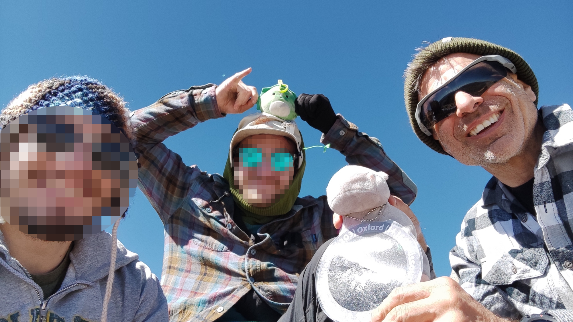
We were lucky (or not) and had the summit all to ourselves. It was windy and cold, but there is enough area to spread out on the summit. You can find a spot protected from the winds, for sure.
As a summit, Missouri is not as impressive as other nearby mountains. If you look back on the ridge, the tall mountain to the left of it Mount Huron. Not the massive dark thing to the left, mind you, that’s the Apostles (not 14ers). If you continue to the left, you’ll see a broad valley with a little lake in it. Past it, the Southern Collegiate Peaks. The one most to the left is Mount Harvard, and the little peak just to its right is Mount Columbia. To the right of them you can peek at Mounts Yale, Princeton, and Antero.
If you continue left/counterclockwise, you follow the steeply falling ridge from Missouri to Elkhead Pass. Don’t try to follow that one, even if you want to hike to Mount Belford. It’s suicidal more than risky and you’ll end up wasting time and having to go back to the main trail.
But, if you follow the ridge with your eyes, you can see a trail ascending from the saddle to the peak on the left. That’s Mount Belford. Behind it you get a glimpse of the summit of Mount Oxford. That’s a fun hike, too.
If you continue to the left, you see the broad valley of the Arkansas river, whose headwaters we passed on the way to Leadville. Then a series of mountains that include Mounts Elbert and Massive, the tallest mountains in Colorado. Below them, the valley you just crawled out of.
Eventually, you want to make your way down. You’ll follow the same trail as up, so way finding is easy. Be extra careful on the dirt sections, because they are even worse on the way down.
I guess at this point we started to be tired. I had dreamed of climbing Oxford on the way back, but it had already started being late and my companions wanted to get home ASAP. We crawled into the valley, hiked down, and finally made our way to the car. A quick jaunt to Leadville for pizza, then a ride along I-70, and back home we were.
Conclusion
On many guides, you’ll find that Mount Missouri earned itself the moniker, Mount Misery. I think that’s a bit of an exaggeration, but it highlights a few important differences between Missouri and other 14ers.
First, the first and last sections are unexpectedly hard to navigate. That’s a double whammy, because you are robbed of a gentle warmup and you get the risk concentrated when you are already starting to be tired. The steep - easy - steep - difficult combination is psychologically hard to deal with.
Second, classifying Missouri as a baby fourteener because it’s “just” 14,071 feet tall doesn’t do it justice. This hike is much harder than that to nearby Mount Belford, which is 200 feet taller and starts at the same trailhead. In fact, lots of people simply hike up here and decide which mountain to summit only once they are at the two forks.
Third, and that’s subjective, the summit of Missouri is a bit of a letdown. The sharp ridge leading to it implies grand vistas from deep plunges, but there are other summits that are more spectacular. The views are grand, as you’d expect, but there is nothing really special about it. Some summits sear themselves in your mind forever - Yale, La Plata, Lincoln, Huron. This one does not. It’s in good company - it is as unremarkable to me as Elbert or Grays. But unlike those two, the hike itself is challenging.
Something I attempted to do on my first try, years ago, was to climb all three 14ers served by Missouri Gulch Trailhead in one day. If you are trying to do that, the common advice is to start with Missouri, because the other two are much easier, and you don’t want to end the day with the hardest challenge. You will absolutely need some kind of light source for that (your smartphone flashlight is not good enough, get a flashlight or headlight) because you are either starting in the pitch black or coming back in it.